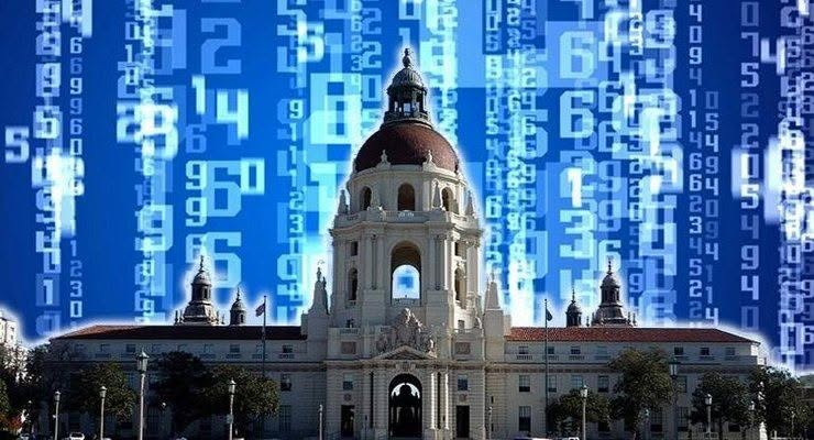


The California Department of Water Resources (DWR) Tuesday named three scientists at NASA’s Jet Propulsion Laboratory, Pasadena, California, as recipients of its Remote Sensing and Drought Science Service award. The award recognizes ongoing assistance provided by researchers who have been working closely with the department on drought or climate science projects.
JPL scientists Tom Farr, Cathleen Jones and Zhen Liu received the honor at a Water Operations briefing sponsored by DWR and the Water Education Foundation in Sacramento. The researchers used interferometric synthetic aperture radar data from Japanese and Canadian satellites and airborne data from NASA’s Uninhabited Aerial Vehicle Synthetic Aperture Radar (UAVSAR) instrument to map the ongoing sinking of land in California’s San Joaquin Valley caused by groundwater extraction. Drought-related surface water shortages have led to increased groundwater pumping and record low groundwater levels in the region. The scientists’ work found that some parts of the valley sank more than a foot during the 2014 irrigation season alone.
“We were impressed by the ability to see the monthly progression of summer land surface deformation in response to irrigation water demands,” said DWR Interstate Resources Manager Jeanine Jones. Use of innovative high-resolution aircraft-based monitoring was also able to detect this rapid increase in subsidence directly along the California Aqueduct. NASA is currently processing 2015 land subsidence data for DWR.
“DWR is pleased to recognize the work that these scientists have performed in developing new methodologies for monitoring land subsidence in response to our multi-year drought,” said DWR Director Mark Cowin. “We appreciate the time they have invested in developing the productive working relationship that has allowed us to collaborate in applying remote sensing to monitor land subsidence that can impact critical water infrastructure.”
“Connecting NASA scientists to society’s decision makers is essential to successfully using NASA Earth observations and science to improve water management decisions,” said Brad Doorn, program manager in Applied Sciences at NASA Headquarters in Washington. “These JPL scientists are great examples for us all, as they are not only connecting with California’s water resource management agencies, but they are bringing NASA data to bear on the state’s critical information needs.”
NASA uses the vantage point of space to increase our understanding of our home planet, improve lives and safeguard our future. NASA develops new ways to observe and study Earth’s interconnected natural systems with long-term data records. The agency freely shares this unique knowledge and works with institutions around the world to gain new insights into how our planet is changing.
For more information on the scientists’ research, visit:
http://www.jpl.nasa.gov/news/news.php?feature=4693
For more information about NASA’s Earth science activities, visit:
 Get our daily Pasadena newspaper in your email box. Free.
Get all the latest Pasadena news, more than 10 fresh stories daily, 7 days a week at 7 a.m.