


 0 comments
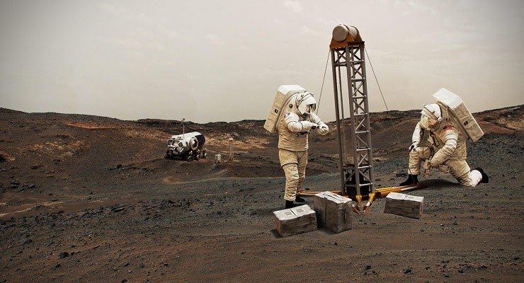
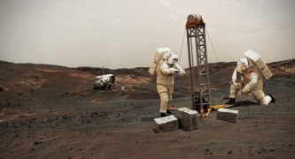
A team of scientists managed by NASA’s Jet Propulsion Laboratory has published the most detailed map to date of where future astronauts will likely be able to find precious water ice beneath the surface of the Red Planet, according to JPL.
The data was made public Monday in a paper published in Nature Astronomy reporting the findings of researchers at JPL and Planetary Science Institute in Tucson, Arizona.
The project, christened Subsurface Water Ice Mapping, or SWIM, looked at 20 years of data from NASA’s Mars Odyssey mission and Mars Reconnaissance Orbiter, along with the since-retired Mars Global Surveyor, JPL said in a written statement. It focused on Mars’ northern hemisphere, which scientists say is the most ideal place for a manned landing.
Water is not only vital to keeping astronauts alive but can also be used to manufacture other critical goods, such as rocket fuel, on Mars, according to JPL.
“But, of course, water has huge scientific value, too: If present-day microbial life can be found on Mars, it would likely be nearby these water sources as well,” the statement said.
Mars’ northern hemisphere midlatitudes represent the optimal place for a heavy, human-carrying spacecraft to land, researchers said. It can provide both subterranean water ice, which tends to be concentrated toward the planet’s poles, as well as reasonable amounts of sunlight, which is brightest near the planet’s equator.
But in order to pick suitable landing sites, mission planners need to find locations that are also near water, said Mars Water Mapping Project Lead Sydney Do of JPL.
“Ultimately, NASA tasked the SWIM project with figuring out how close to the equator you can go to find subsurface ice,” Do explained. “Imagine we’ve drawn a squiggly line across Mars representing that ice boundary. This data allows us to draw that line with a finer pen instead of a thick marker and to focus on parts of that line that are closest to the equator.”
Future missions are in the works to allow scientists to learn more about the Martian conditions, and where humans could best thrive.
“Mapping efforts in the 2020s could help make human missions to Mars possible as early as the 2030s,” according to the JPL statement. “But before that, there’ll be a robust debate about the location of humanity’s first outpost on Mars: a place where astronauts will have the local water-ice resources needed to sustain them while also being able to make high-value discoveries about the evolution of rocky planets, habitability, and the potential for life on worlds beyond Earth.”
The research paper, titled “Availability of subsurface water-ice resources in the northern mid-latitudes of Mars,’ can be accessed online at nature.com/articles/s41550-020-01290-z.
 Get our daily Pasadena newspaper in your email box. Free.
Get all the latest Pasadena news, more than 10 fresh stories daily, 7 days a week at 7 a.m.